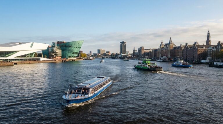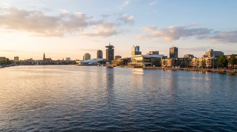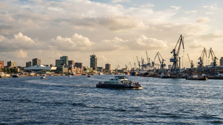
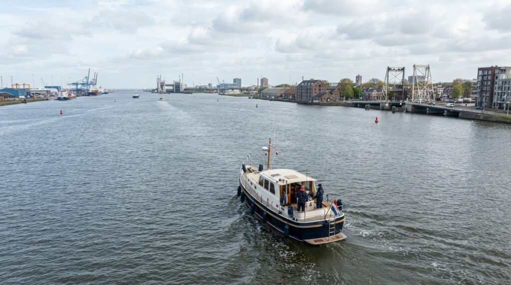
The sailing route across the water towards the coast is 15.9 Nm. At an average speed of 5 kts, the route plan gives an estimated sailing time of 3 hours and 9 minutes. The actual sailing can turn out differently due to the circumstances on the way.
A trip to the coast requires more than just the distance and your speed. Wind and current affect your pace, while Tide and suitable shelters also count towards your preparation. This way you get a more realistic picture of the crossing in advance.
In this guide you can read how the estimated sailing time is determined and which factors influence your route planning. You will also discover what to look out for in changing weather, tides and shelters. This way you prepare your trip over the water with more overview and enjoy the water and the surroundings on the way.
Key points
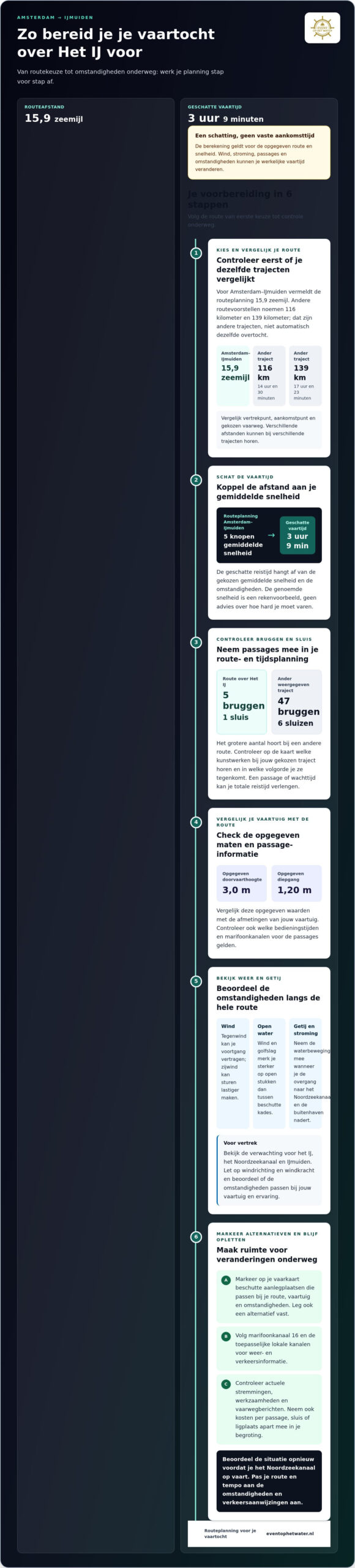
- The distance from Amsterdam to IJmuiden is 15.9 Nm; at an average speed of 5 kts, the estimated sailing time is 3 hours and 9 minutes.
- Include wind, current and tides in your planning: they can influence your sailing pace and the choice of a shelter.
- On the displayed route there are 5 bridges and 1 lock. Read How to include that passage in your route planning.
- Compare the specified passage height of 3.0 m and draft of 1.20 m with the dimensions of your vessel.
- Find out what information you need about operating hours and VHF channels before you leave.
Distance and estimated sailing time
The sailing route across the IJ towards IJmuiden is 15.9 nautical miles long in a route plan. At an average speed of 5 knots, the estimated travel time comes out to 3 hours and 9 minutes. That is a calculation for the specified route and speed. It is not a fixed arrival time. The distance and sailing time may be different if your departure point, destination or chosen route differs.
Route plans also show sections of 116 kilometers and 139 kilometers. The estimated sailing time is 14 hours and 30 minutes and 17 hours and 23 minutes respectively. These results deviate greatly from the 15.9 nautical miles. Therefore, do not compare the numbers as if they describe one route. First, see if the point of departure, point of arrival and route are the same. Different distances can belong to different fairway routes.
For the route from Amsterdam to IJmuiden, the route planning gives these travel times at different average speeds:
- At 5 knots, the estimated travel time is 3 hours and 9 minutes.
- The estimated travel time depends on the chosen average speed.
- The estimated travel time depends on the average speed and conditions.
- The estimated travel time depends on the average speed.
The speeds are calculation examples, not advice on how fast you should sail. What is appropriate depends on the vessel, conditions and other traffic. Also consider bridges and locks if they are on your route. A passage or waiting time can increase the total travel time, even if the distance remains the same.
Which alternative sailing route is there from Amsterdam to IJmuiden and how do the routes differ? Route plans show stretches of 116 kilometers and 139 kilometers, with estimated sailing times of 14 hours and 30 minutes and 17 hours and 23 minutes. Compare each route individually to the 15.9 nautical mile route.
Which sailing rules and speed limits apply on the IJ and the North Sea canal? Follow the traffic directions and adjust your cruise to the fairway and traffic. The speed limit may vary by part of the route.
What are the current rates for bridges, locks and ports on the way? The costs may vary per passage, lock or berth. Include them in your budget by location, instead of assuming one rate for the entire trip.
Which current restrictions, work or navigation information apply to the route? Such notifications can change the passage or route choice. Include current messages in your departure schedule and adjust your trajectory if a notification affects it.
Plan the trip in steps: first determine your point of departure and arrival, then choose a route proposal and compare the distance and travel time. In this way you link the sailing route over the IJ towards IJmuiden to your departure plan. Finally, leave room for passages and conditions along the way. This makes the planning useful for your own cruise, instead of relying on one estimated travel time.
Weather, tides and shelters
On the IJ and the North Sea canal, wind, current and shipping together affect the comfort of your cruise. Headwinds can slow your progress; crosswinds can make steering more difficult. On open stretches, you can notice wind and waves more strongly than between sheltered Quays. Therefore, look not only at the forecast for Amsterdam, but also at the conditions towards IJmuiden.
Tide mainly plays a role when you approach the transition to the North Sea canal and the Outer Harbor. The water movement can affect the course and speed of your vessel. Therefore, Plan the passage as part of the entire trip. See how wind direction and tide interact and keep space in your schedule for a varying pace. A fixed departure time in itself says little about the conditions later on the route.
Before departure, make a simple plan for less favorable weather:
- Check the weather forecast for the IJ, the North Sea canal and IJmuiden.
- Pay attention to wind direction and wind force, not just the general weather symbols.
- Assess whether the expected conditions suit your vessel and experience.
- Determine in advance which sheltered moorings are accessible along your chosen route.
A shelter is only useful if it suits your route, vessel and the current conditions. Use a sailing map to find ports and docking options along the route. Also consider how you sail to it: it can be sheltered behind a harbor mouth, but the approach requires extra attention in case of wind or heavy traffic. Therefore, capture not only a destination, but also an alternative.
For weather and traffic information, the sailing instructions recommend following VHF channel 16 and the applicable local channels. Keep an eye on that information while sailing, especially when the wind picks up or it gets busier near IJmuiden. Adjust your route choice to notifications and circumstances; a pre-selected shelter will only help if it still suits the situation.
Finish your preparation in order: first look at the weather, then take the tide with you, and then Mark possible hiding places on your map. Reassess the situation before sailing up the North Sea canal. This way you translate information for Amsterdam and IJmuiden into concrete decisions along the way, instead of assuming one expectation for the entire trip.
Do you want to plan a special day on the water and at the same time calmly think about the possibilities? Discuss your plans for a cruise as the next step.
Which locks and bridges are on the route from the IJ to IJmuiden?
The displayed sailing route from the IJ to IJmuiden includes 5 bridges and 1 lock. That number gives you an initial idea of possible passages along the way. It doesn't tell you exactly which Bridges your route crosses or how much time you spend on each passage. Therefore, check the route map on the chosen waterway and view the bridges and lock in the order in which you encounter them.
Route plans can show different trajectories. Another route shown includes 47 bridges and 6 locks. That larger number belongs to another route and you should not just add up to the 5 bridges and 1 lock of the section over the IJ. When choosing a route, always compare the distance, the waterways and the number of works of art within the same route proposal.
Bridges and locks interrupt your sailing pace. In the case of a bridge, the passage may depend on the available opening and operation. In the case of a lock, the passage takes place via a culvert. Your sailing time does not only consist of the distance between Amsterdam and IJmuiden. Take the passages with you when planning an arrival time.
Use these steps to make the passages on your route clear:
- Open the route map and check whether the route runs over the IJ to the North Sea canal.
- Write down the bridges and locks that are indicated on exactly that route.
- Compare an alternative route separately, as it may contain a different number of passages.
- Include possible waiting time in your planning and view the current sailing directions.
With a route map you can also determine where you have room before a passage to adjust your course. Look at the waterway around the bridge or lock, not just the icon on the map. On a busy part of the North Sea canal, the combination of commercial navigation and a passage requires extra attention to the position of your vessel.
The numbers 5 bridges and 1 lock are therefore useful as a first check of the displayed route, not as a complete passage planning. For a route with 47 bridges and 6 locks, the route is clearly structured differently. Record the chosen route, check the corresponding artworks and treat each alternative route as its own planning. This way you know which bridges and locks to take along on the way, without confusing different route data.
A comparison with a route from another starting point shows why the numbers per route should remain separate. A route from Haastrecht can include other passages than the route over the IJ. The sailing route from Haastrecht to IJmuiden includes 8 locks. These data belong to the route from Haastrecht and are not an addition to the numbers of the route over the IJ. When viewing a route map, always keep the starting point and the chosen route together.
Want to evaluate an alternative? Then write down the artworks on that route proposal and compare them as part of the route. This prevents you from combining passages from different trajectories in one planning. Use the numbers as a check of the displayed route and then see which bridges and locks are actually on your waterway. This way it remains clear which passage data are relevant for the journey to IJmuiden and which belong to another departure point.
What are the operating times and VHF channels of the bridges and locks?
The operating times depend on the bridge or lock you pass. Therefore, do not assume one general opening time for the entire route to IJmuiden. Write down the operating times for your departure day per passage. This way you can see where an opening can affect your arrival time.
Put the artworks in your route planning in the order in which you encounter them. Note the location, operating times and communication instructions for each bridge and lock. This way you keep relevant information together and avoid confusion between passages. A schedule per waterway is clearer than individual notes.
The sailing instructions recommend following VHF channel 16 and the applicable local channels for weather and traffic information. Thus, channel 16 is part of the information plan for the road. The local channels are important for messages that belong to the respective sailing area. Follow the instructions for the area you are sailing in.
Keep VHF information and operating information apart. A weather and traffic channel does not automatically tell you how to request a bridge opening. For each passage, follow the indicated communication procedure. Do not choose a channel based on assumptions; the instructions at the respective bridge or lock determine which communication applies.
A practical preparation consists of these steps:
- Record your chosen route to IJmuiden.
- Write down the bridges and locks along the route in sailing order.
- Write down the operating times and the corresponding communication instructions for each passage.
- Include Channel 16 and the applicable local channels in your information plan.
- Take into account changes in the schedule when a passage is not immediately possible.
Service times are extra important if you have a fixed arrival time. Waiting time at a bridge or lock can shift your schedule, even if your sailing speed remains the same. Therefore, leave space between the planned passages and activities ashore. Use the expected sailing time as a basis and plan the passages separately.
Stay alert for traffic information and changes in operation while on the road. Current Directions on the route towards IJmuiden can affect your order or timing. Listen to the relevant information channels and follow the instructions for the fairway. This allows you to take into account both the operating times of bridges and locks and the situation on the water, rather than just a pre-drawn up schedule.
The operating times differ per bridge or lock and apply to the respective departure day. Use VHF channel 16 and the local channels applicable to the sailing area; follow the indicated communication procedure per passage.
What is the maximum clearance height, draft and width on the route?
For the displayed route, the route plan indicates a passage height of 3.0 m and a draft of 1.20 m. use these values as checkpoints for your vessel. The passage height is about space above the water; the draft is about space below the waterline. Compare both sizes with the dimensions of your boat, including fixed gear.
The route data also mentions different minimum depths for parts of the route: 10.5 meters, 15.1 meters, 20 meters, 13.7 meters, 5 meters, 4.9 meters, 3.4 meters, 2.3 meters, 2 meters, 3.2 meters and 4.3 meters. Such values belong to individual fairway sections. So do not treat them as one depth that applies everywhere on the route. View the depth per segment and compare it with the draft of your vessel.
The specified draft of 1.20 m is a useful starting point, but a route consists of several sections. For example, the mentioned minimum depth of 2 meters is slightly different from that of 20 meters. Therefore, check where the values apply and which route variant you are sailing. Also pay attention to the current water level: available space under the boat can change with the water level.
A maximum width is not included as a route value. Therefore, assess the width of your boat in relation to the available fairway space and the width of any works of art. A vessel that fits in terms of draft and height is not automatically suitable for every narrower part of the route. Also measure outstanding parts and fixed facilities.
Check this information systematically before departure:
- Measure the total height from the waterline to the highest fixed point.
- Compare the actual draft with the stated 1.20 m and the Depth per Route section.
- Take the full width of the boat with you, including fixed protruding parts.
- Check the chosen route and the values at bridges, locks and other narrow passages.
- See if water level or loading changes the position of your boat.
So don't use one number as proof that the whole draft fits. The combination of 3.0 m clearance, 1.20 m Draft, width and local depth determines whether your vessel can follow the route. A loaded boat may lie deeper than an empty boat; masts or other fixed parts determine the overall height. Put those measurements next to the data of each route section.
For a visit where Fort Island and a cruise are combined, consider a maximum duration of 4.5 hours. This time requirement is separate from the control of the height, draft and width of a vessel: treat the activity and the route dimensions as separate parts of your planning. Anyone considering the IJmuiden-Newcastle route should keep in mind that the ferry terminal is located in IJmuiden and not in the center of Amsterdam. So Plan the trip to the terminal itself, not to the city center.
From Amsterdam, the car journey to the ferry terminal in IJmuiden usually takes about half an hour to three quarters of an hour, depending on the traffic, your departure point and the route. If you are traveling without a car, you can take public transport via Beverwijk station and then by bus towards IJmuiden. Include this accessibility in your overall planning, in addition to the sailing time and the dimensions of your vessel. This way, the trip to IJmuiden also gets a place in your preparation.
Event on the Water: Private Cruise
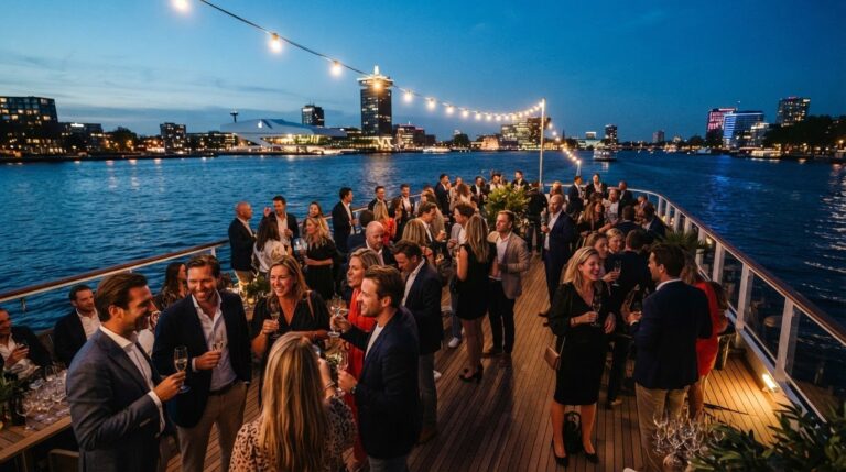
Event op het Water organises private cruises in Amsterdam, with an experienced skipper and catering staff on board. That suits you if you prefer to experience the sailing environment relaxed than planning a route over the IJ yourself. For a trip with a drink you choose a drink boat; for eating together you can book a BBQ boat.
A cruise in Amsterdam is a different experience than sailing to IJmuiden. You do not have to plan the route yourself and can enjoy the view and each other's company during the trip. Choose a private cruise if you want to go out on the water with your own group, for example for a festive occasion or a get-together with family.
Feel free to contact Event op het Water to discuss your plans for a private cruise.
Make your sailing plan a beautiful day on the water
A route plan is especially valuable if it matches what you want to experience that day. Therefore, first decide whether IJmuiden is your destination, or whether you prefer to take time for a relaxing trip in Amsterdam. The sailing route over the IJ towards IJmuiden requires a different preparation than a cruise that stays in Amsterdam. Make that choice in advance, so that the interpretation fits your company and plans.
Do you want to enjoy Amsterdam from the water without organizing a trip yourself? Event op het Water offers a private cruise, Amsterdam Cruise and a BBQ boat package. Choose what suits your occasion and make the get-together the center of the day.
See what suits your needs and take the next step when you're ready.
Have fun planning a day on the water that suits you.
Frequently Asked Questions
Which current traffic jams, activities or navigation messages apply on the route?
Obstructions, work and navigation messages can change the passage or route choice. Before departure, check the current messages and adjust your route if a notification affects it.
Where are suitable moorings, marinas and refuelling facilities along the route?
Use a sailing map to find ports and moorings along your route and check if they suit your vessel and the conditions. Information about tank capabilities is not included.
Disclaimer
Some images on this website are (partially) generated or edited using artificial intelligence (AI). These images serve solely for illustration and Atmospheric impression. The actual boats, locations, arrangements, facilities and performances may differ from what is shown in the image. No rights can be derived from AI-generated images.
To contact us via [email protected] for more info.